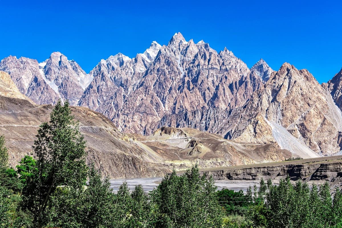
Karakoram Highway
World's highest paved road through breathtaking Himalayan and Karakoram peaks
The Karakoram Highway isn't just a road—it's a 1,300-kilometer engineering marvel that cuts through some of Earth's most dramatic terrain. Built jointly by Pakistan and China over two decades, this route connects Islamabad to Kashgar, winding past four of the world's five highest mountain ranges.
You'll drive alongside the Hunza River, cross the 4,693-meter Khunjerab Pass, and witness K2 from Concordia if you take the detour. But here's the thing: this isn't a casual road trip. Landslides shut down sections regularly, altitude sickness hits hard above 3,000 meters, and fuel stations are sparse once you leave the main towns.
The payoff? Sunrise over Rakaposhi from Karimabad, the turquoise waters of Attabad Lake, and villages where Wakhi shepherds still follow ancient migration routes. Just don't expect your GPS to work past Gilgit.
Money-Saving Tips
- 1.Fuel costs triple between Pakistan and China—fill up in Sost before crossing the border
- 2.Negotiate guesthouse rates in Pakistani rupees, not dollars, for better deals
- 3.Stock up on snacks and water in Gilgit—prices double in smaller mountain towns
- 4.Chinese yuan exchange rates are better in Kashgar than at the border crossing
- 5.Budget $100-150 per day for vehicle expenses including fuel, tolls, and emergency repairs
- 6.Local guides cost $20-30 per day but can save hundreds in avoided mistakes and delays
Travel Tips
- •Start driving at sunrise to avoid afternoon rockfall in dangerous sections
- •Carry altitude sickness medication and know the symptoms—headaches aren't worth risking your life
- •Download offline maps for both Pakistan and China before departure—cell coverage disappears for hundreds of kilometers
- •Pack extra engine oil and coolant—high altitude and steep grades stress engines beyond normal limits
- •Learn basic Urdu greetings and numbers—English isn't widely spoken outside tourist areas
- •Respect photography restrictions near military installations—cameras can be confiscated
- •Register with your embassy before departure and check in regularly via satellite phone if possible
Frequently Asked Questions
BUILD YOUR
KARAKORAM HIGHWAY PLAN
Insider picks, smart timing, and a plan ready when you are.
Start Planning